When it comes to navigating through a physical space or visualizing a specific area, two common terms that often come up are maps and plans. While they may seem similar at first glance, there are key differences between the two that serve different purposes and are utilized in various contexts. In this blog post, we’ll delve into the distinctions between maps and plans, exploring their unique characteristics, uses, and features.
Maps: Navigating Geographical Terrain
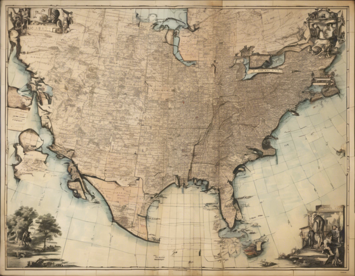
Maps are visual representations of a geographical area, providing a comprehensive view of features such as landforms, bodies of water, roads, cities, and more. They are essentially graphic depictions that showcase spatial relationships and elements of a particular area. Maps come in various types, including topographic maps, political maps, thematic maps, and more, each serving a specific purpose.
Key Features of Maps:
– Scale: Maps include a scale that indicates the ratio between the measurements on the map and the actual distance on the ground.
– Legend: A map legend explains the symbols used on the map, helping users understand the elements represented.
– Orientation: Maps are oriented in a particular direction, usually north, to aid in navigation.
Uses of Maps:
– Navigation: Maps help individuals navigate unfamiliar terrain, whether it’s finding the fastest route to a destination or exploring new locations.
– Education: Maps are essential tools in geography education, helping students understand the layout and geography of different regions.
– Planning: Urban planners, architects, and engineers use maps to plan infrastructure projects, developments, and land use.
Plans: Detailed Layouts and Blueprints
On the other hand, plans are detailed drawings that focus on specific elements such as architectural layouts, engineering designs, or organizational structures. Unlike maps, plans are more specialized and typically represent a smaller, more confined area in intricate detail. They serve as blueprints for construction, design projects, or organizational layouts.
Key Features of Plans:
– Detail: Plans are highly detailed, showcasing specific elements such as measurements, dimensions, and arrangements.
– Purpose: Plans are created with a specific purpose in mind, whether it’s constructing a building, designing a garden layout, or organizing a workspace.
– Technical Labels: Plans often include technical labels and annotations to provide clarity on different components.
Uses of Plans:
– Construction: Architects and engineers use plans as guides for constructing buildings, bridges, roads, and other structures.
– Design: Interior designers and landscape architects create plans to visualize and execute their design concepts.
– Organization: Organizations use plans for space planning, workflow design, and layout optimization in offices, factories, and other settings.
Contrasts Between Maps and Plans
While maps and plans share the common trait of visual representation, there are fundamental differences that set them apart:
-
Scope: Maps have a broader scope, encompassing entire regions or landscapes, while plans focus on specific elements or projects.
-
Detail: Plans are more detailed and precise in their representation, capturing specific measurements and arrangements, whereas maps provide a generalized overview.
-
Purpose: Maps are primarily used for navigation, education, and planning at a macro level, while plans serve as detailed guides for construction, design, and organization at a micro level.
Frequently Asked Questions (FAQs)
1. Can a map be considered a plan?
– No, a map and a plan serve different purposes and focus on distinct elements. A map provides a general overview of a geographical area, while a plan delves into specific details for construction, design, or organization.
2. How do I determine the scale of a map?
– The scale of a map is usually indicated in the map’s legend. It represents the ratio between the distances on the map and the actual distances on the ground.
3. What software can I use to create maps and plans?
– Popular software for creating maps includes Google Maps, ArcGIS, and QGIS. For plans, tools such as AutoCAD, SketchUp, and Revit are commonly used.
4. Are there different types of plans based on their purpose?
– Yes, plans vary based on their intended use. Some common types include floor plans for buildings, landscape plans for outdoor areas, and organizational plans for workflow optimization.
5. Can plans be hand-drawn or are they typically created digitally?
– Plans can be created both manually and digitally. While hand-drawn plans offer a personal touch and artistic flair, digital tools provide precision, scalability, and the ability to make quick revisions.
By understanding the distinctions between maps and plans, individuals can effectively utilize these visual tools for navigation, design, construction, and various other applications. Whether you’re exploring a new city with a map in hand or drafting intricate blueprints for a architectural project, the unique characteristics of maps and plans cater to different needs and objectives in the realm of spatial visualization and representation.
